Jalur BNSPBNSP Pathway

Sertifikasi BNSP Geospasial & Survei — Operator SIG, Analis SIG, Juru Ukur, Teknisi Survei Terestris BNSP Geospatial & Survey Certification — GIS Operator, GIS Analyst, Surveyor, Terrestrial Survey Technician

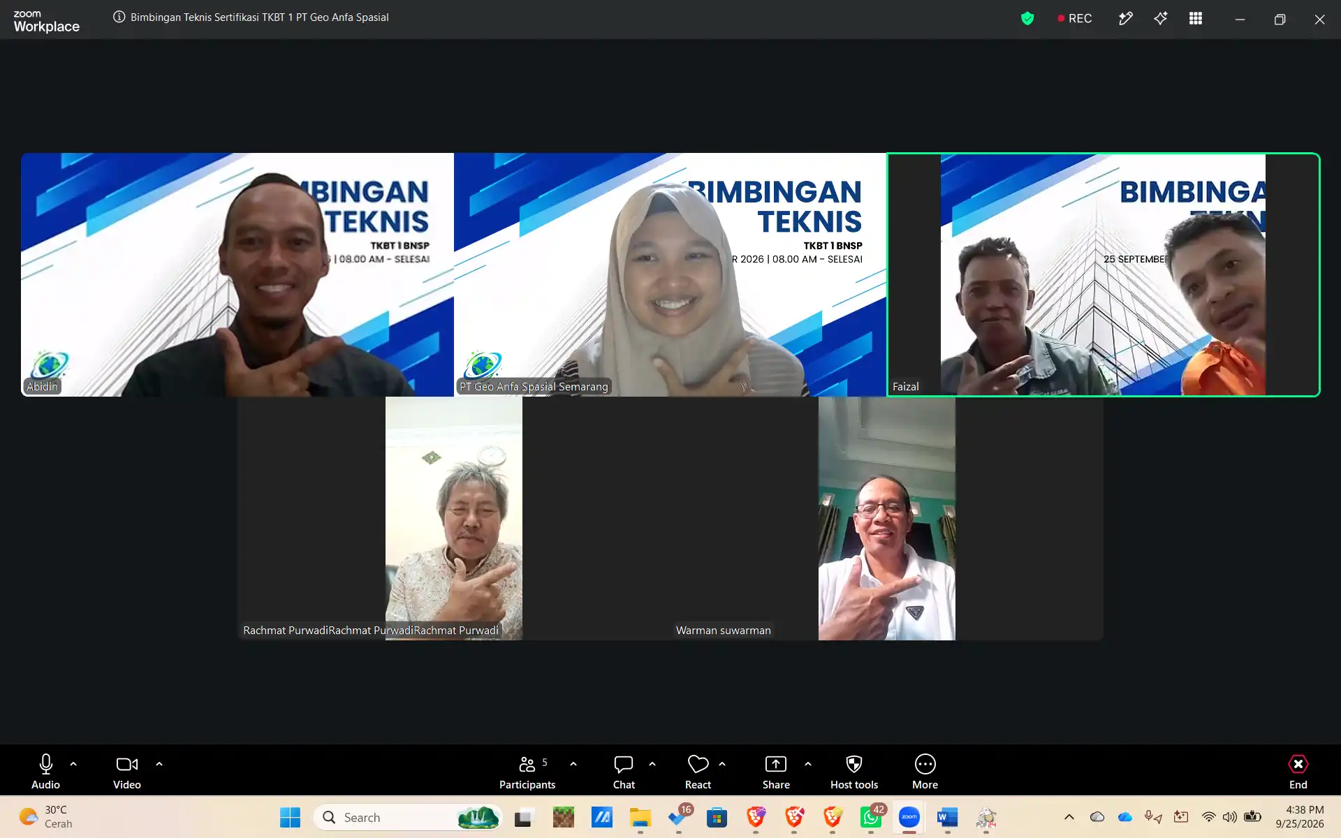
Sertifikat kompetensi BNSP untuk tenaga pemetaan dan survei — dari operator SIG yang mendigitasi dan mengedit data, analis SIG yang membangun basis data dan model spasial, sampai juru ukur dan teknisi survei terestris yang mengukur dengan total station dan GNSS. Diselenggarakan oleh PT Geo Anfa Spasial — perusahaan yang sehari-hari bekerja di bidang geospasial.

TUK resmi terafiliasi LSP · Kelas online (1 hari pelatihan + 1 hari asesmen) atau in-house se-Indonesia · Didampingi sampai sertifikat terbit

Chat WA jam 07.00–21.00 dibalas <10 menit: sebutkan skema, jumlah peserta, dan kota — kami balas jadwal + biaya. Lebih suka dihubungi? Isi formulir singkat.
BNSP competency certification for mapping and survey staff — from GIS operators who digitise and edit data and GIS analysts who build spatial databases and models, to surveyors and terrestrial survey technicians measuring with total stations and GNSS. Run by PT Geo Anfa Spasial — a company that works in geospatial every day.

Official LSP-affiliated TUK · Online class (1 day training + 1 day assessment) or in-house nationwide · Supported until the certificate is issued

WhatsApp messages between 07:00 and 21:00 get a reply in under 10 minutes: tell us the scheme, number of participants, and city — we reply with schedule and fees. Prefer to be contacted? Fill in the short form.

Konsultasi GratisFree Consultation

Daftar Pelatihan & SertifikasiRegister for Training & Certification

Isi data singkat di bawah. Tim kami menghubungi Anda untuk jadwal, biaya, dan persyaratan.Fill in the short form below. Our team will contact you about schedule, fees, and requirements.

Operator Sistem Informasi Geografis GIS Operator

Untuk SiapaWho It's For

Staf GIS, drafter peta, dan operator data spasial di konsultan, pemda, BUMN, dan perusahaan perkebunan/tambang.GIS staff, map drafters, and spatial data operators at consultancies, local governments, SOEs, and plantation/mining companies.

Cakupan MateriWhat It Covers

Mengoperasikan perangkat lunak SIG, digitasi peta analog, input data ukur lapangan, sistem & transformasi koordinat, konversi format data geospasial, editing data, dan membaca peta.Operating GIS software, digitising analogue maps, entering field survey data, coordinate systems and transformation, converting geospatial data formats, editing data, and reading maps.

ManfaatWhy It Matters

Data spasial yang rapi sejak digitasi menentukan benar-tidaknya semua analisis sesudahnya.Clean spatial data from the digitising stage decides whether every later analysis is right.

Persyaratan PesertaParticipant Requirements

Berkas: scan KTP, ijazah terakhir, pas foto 3x4 latar merah, surat keterangan bekerja, CV, dan portofolio bukti kerja sesuai skema. Pendidikan & pengalaman minimal mengikuti skema LSP — kami cek kelayakannya saat konsultasi.Documents: scanned ID card, latest diploma, 3x4 photo on a red background, employment letter, CV, and a portfolio of work evidence for the scheme. Minimum education and experience follow the LSP scheme — we check eligibility during consultation.

DurasiDuration

Kelas online: 1 hari pelatihan + 1 hari asesmen. Untuk rombongan perusahaan bisa in-house menyesuaikan jadwal Anda — tanya jadwal batch terdekat via WA.Online class: 1 day of training + 1 day of assessment. Company groups can have it in-house on your schedule — ask for the nearest batch on WhatsApp.
Lihat 9 unit kompetensi ↓See 9 competency units ↓

Analis Sistem Informasi Geografis GIS Analyst

Untuk SiapaWho It's For

Analis data spasial, GIS specialist, dan koordinator tim GIS.Spatial data analysts, GIS specialists, and GIS team coordinators.

Cakupan MateriWhat It Covers

Merancang dan membuat basis data spasial, analisis SIG tingkat dasar dan lanjut, membangun model SIG, mengelola data geospasial, kontrol kualitas pekerjaan SIG, serta mengelola tim kerja.Designing and building spatial databases, basic and advanced GIS analysis, building GIS models, managing geospatial data, quality control of GIS work, and managing a team.

ManfaatWhy It Matters

Jenjang yang mengubah data spasial menjadi jawaban — kesesuaian lahan, risiko, perencanaan — dan bertanggung jawab atas mutunya.The level that turns spatial data into answers — land suitability, risk, planning — and is accountable for its quality.

Persyaratan PesertaParticipant Requirements

Umumnya berpengalaman sebagai operator/teknisi SIG. Berkas: scan KTP, ijazah terakhir, pas foto 3x4 latar merah, surat keterangan bekerja, CV, dan portofolio bukti kerja sesuai skema. Pendidikan & pengalaman minimal mengikuti skema LSP — kami cek kelayakannya saat konsultasi.Usually experienced as a GIS operator/technician. Documents: scanned ID card, latest diploma, 3x4 photo on a red background, employment letter, CV, and a portfolio of work evidence for the scheme. Minimum education and experience follow the LSP scheme — we check eligibility during consultation.

DurasiDuration

Kelas online: 1 hari pelatihan + 1 hari asesmen. Untuk rombongan perusahaan bisa in-house menyesuaikan jadwal Anda — tanya jadwal batch terdekat via WA.Online class: 1 day of training + 1 day of assessment. Company groups can have it in-house on your schedule — ask for the nearest batch on WhatsApp.
Lihat 10 unit kompetensi ↓See 10 competency units ↓

Juru Ukur Yunior Junior Surveyor

Untuk SiapaWho It's For

Juru ukur dan pembantu ukur di proyek konstruksi, pertanahan, dan pemetaan.Surveyors and survey assistants on construction, land, and mapping projects.

Cakupan MateriWhat It Covers

Menyiapkan peralatan survei, membuat benchmark/hydro pilar, input data ukur, membaca peta, menggunakan komputer, SMK3L, dan komunikasi efektif di tempat kerja.Preparing survey equipment, setting benchmarks/pillars, entering survey data, reading maps, using computers, OHS & environmental management, and effective workplace communication.

ManfaatWhy It Matters

Titik masuk sertifikasi bagi tenaga ukur lapangan yang sering diminta dalam dokumen tenaga ahli proyek.The entry certification for field survey staff, often asked for in project personnel documents.

Persyaratan PesertaParticipant Requirements

Berkas: scan KTP, ijazah terakhir, pas foto 3x4 latar merah, surat keterangan bekerja, CV, dan portofolio bukti kerja sesuai skema. Pendidikan & pengalaman minimal mengikuti skema LSP — kami cek kelayakannya saat konsultasi.Documents: scanned ID card, latest diploma, 3x4 photo on a red background, employment letter, CV, and a portfolio of work evidence for the scheme. Minimum education and experience follow the LSP scheme — we check eligibility during consultation.

DurasiDuration

Kelas online: 1 hari pelatihan + 1 hari asesmen. Untuk rombongan perusahaan bisa in-house menyesuaikan jadwal Anda — tanya jadwal batch terdekat via WA.Online class: 1 day of training + 1 day of assessment. Company groups can have it in-house on your schedule — ask for the nearest batch on WhatsApp.
Lihat 7 unit kompetensi ↓See 7 competency units ↓

Teknisi Survei Terestris Terrestrial Survey Technician

Untuk SiapaWho It's For

Surveyor lapangan yang mengoperasikan total station, waterpass, dan GNSS.Field surveyors operating total stations, levels, and GNSS.

Cakupan MateriWhat It Covers

Pengukuran kerangka dasar horizontal & vertikal, GNSS real-time (RTK) dan statik, pengolahan data sudut, jarak & beda tinggi, laporan hasil ukur, serta APD.Horizontal & vertical control surveys, real-time (RTK) and static GNSS, processing angle, distance & height-difference data, survey reports, and PPE.

ManfaatWhy It Matters

Membuktikan teknisi mampu menghasilkan data ukur yang bisa dipertanggungjawabkan, dari lapangan sampai laporan.Proves the technician can produce accountable survey data, from field to report.

Persyaratan PesertaParticipant Requirements

Berkas: scan KTP, ijazah terakhir, pas foto 3x4 latar merah, surat keterangan bekerja, CV, dan portofolio bukti kerja sesuai skema. Pendidikan & pengalaman minimal mengikuti skema LSP — kami cek kelayakannya saat konsultasi.Documents: scanned ID card, latest diploma, 3x4 photo on a red background, employment letter, CV, and a portfolio of work evidence for the scheme. Minimum education and experience follow the LSP scheme — we check eligibility during consultation.

DurasiDuration

Kelas online: 1 hari pelatihan + 1 hari asesmen. Untuk rombongan perusahaan bisa in-house menyesuaikan jadwal Anda — tanya jadwal batch terdekat via WA.Online class: 1 day of training + 1 day of assessment. Company groups can have it in-house on your schedule — ask for the nearest batch on WhatsApp.
Lihat 7 unit kompetensi ↓See 7 competency units ↓

Unit Kompetensi yang DiujikanCompetency Units Assessed

Daftar unit sesuai skema sertifikasi BNSP. Asesor menguji setiap unit ini — materi pelatihan kami disusun mengikutinya.Units as listed in the BNSP certification scheme. The assessor tests every unit below — our training follows the same list.

Operator Sistem Informasi GeografisGIS Operator

9 unit kompetensi9 competency units
No Kode UnitUnit Code Judul Unit KompetensiCompetency Unit Title
1 J.63OPR00.001.2 Menggunakan Perangkat KomputerUsing Computer Devices
2 M.71IGN00.098.2 Mengoperasikan Perangkat Lunak Sistem Informasi GeografisOperating GIS Software
3 M.71IGN00.099.3 Mengonversi Data Geospasial Analog Menjadi DigitalConverting Analogue Geospatial Data to Digital
4 M.71IGN00.100.2 Menginput Data Hasil Pengukuran LapanganEntering Field Survey Data
5 M.71IGN00.185.2 Melakukan Pemberian Sistem Koordinat PetaAssigning Map Coordinate Systems
6 M.71IGN00.187.2 Melakukan Konversi Antar Format File Penyimpanan Data GeospasialConverting Between Geospatial Data File Formats
7 M.71IGN00.188.3 Mengedit Data GeospasialEditing Geospatial Data
8 M.71IGN00.189.2 Melakukan Transformasi Sistem KoordinatTransforming Coordinate Systems
9 M.71IGN00.197.2 Membaca PetaReading Maps

Analis Sistem Informasi GeografisGIS Analyst

10 unit kompetensi10 competency units
No Kode UnitUnit Code Judul Unit KompetensiCompetency Unit Title
1 M.71IGN00.025.1 Mengelola Tim KerjaManaging a Work Team
2 M.71IGN00.098.2 Mengoperasikan Perangkat Lunak Sistem Informasi GeografisOperating GIS Software
3 M.71IGN00.101.3 Merancang Basis Data SpasialDesigning Spatial Databases
4 M.71IGN00.102.3 Membuat Basis Data SpasialBuilding Spatial Databases
5 M.71IGN00.190.3 Melakukan Analisis Sistem Informasi Geografis Tingkat DasarPerforming Basic GIS Analysis
6 M.71IGN00.191.2 Membangun Model Sistem Informasi Geografis Tingkat DasarBuilding Basic GIS Models
7 M.71IGN00.192.3 Melakukan Analisis Sistem Informasi Geografis Tingkat LanjutPerforming Advanced GIS Analysis
8 M.71IGN00.197.2 Membaca PetaReading Maps
9 M.71IGN00.248.2 Mengelola Data GeospasialManaging Geospatial Data
10 M.71IGN00.285.2 Melakukan Kontrol Kualitas Pekerjaan Sistem Informasi GeografisQuality-Controlling GIS Work

Juru Ukur YuniorJunior Surveyor

7 unit kompetensi7 competency units
No Kode UnitUnit Code Judul Unit KompetensiCompetency Unit Title
1 M.71IGN00.032.1 Menyiapkan Peralatan SurveiPreparing Survey Equipment
2 M.71IGN00.039.1 Membuat Benchmark/Hydro PilarSetting Benchmarks/Hydro Pillars
3 M.71IGN00.086.1 Menginput Data Hasil Pengukuran LapanganEntering Field Survey Data
4 M.71IGN00.161.1 Membaca PetaReading Maps
5 J.63OPR00.001.2 Menggunakan Perangkat KomputerUsing Computer Devices
6 M.711000.001.01 Menerapkan Sistem Manajemen Keselamatan Kesehatan Kerja dan Lingkungan (SMK3L)Applying the OHS and Environmental Management System
7 B.062021.005.01 Melakukan Komunikasi Efektif di Tempat KerjaCommunicating Effectively in the Workplace

Teknisi Survei TerestrisTerrestrial Survey Technician

7 unit kompetensi7 competency units
No Kode UnitUnit Code Judul Unit KompetensiCompetency Unit Title
1 M.71KKK01.008.1 Mengelola Alat Pelindung Diri (APD) di Tempat KerjaManaging Personal Protective Equipment in the Workplace
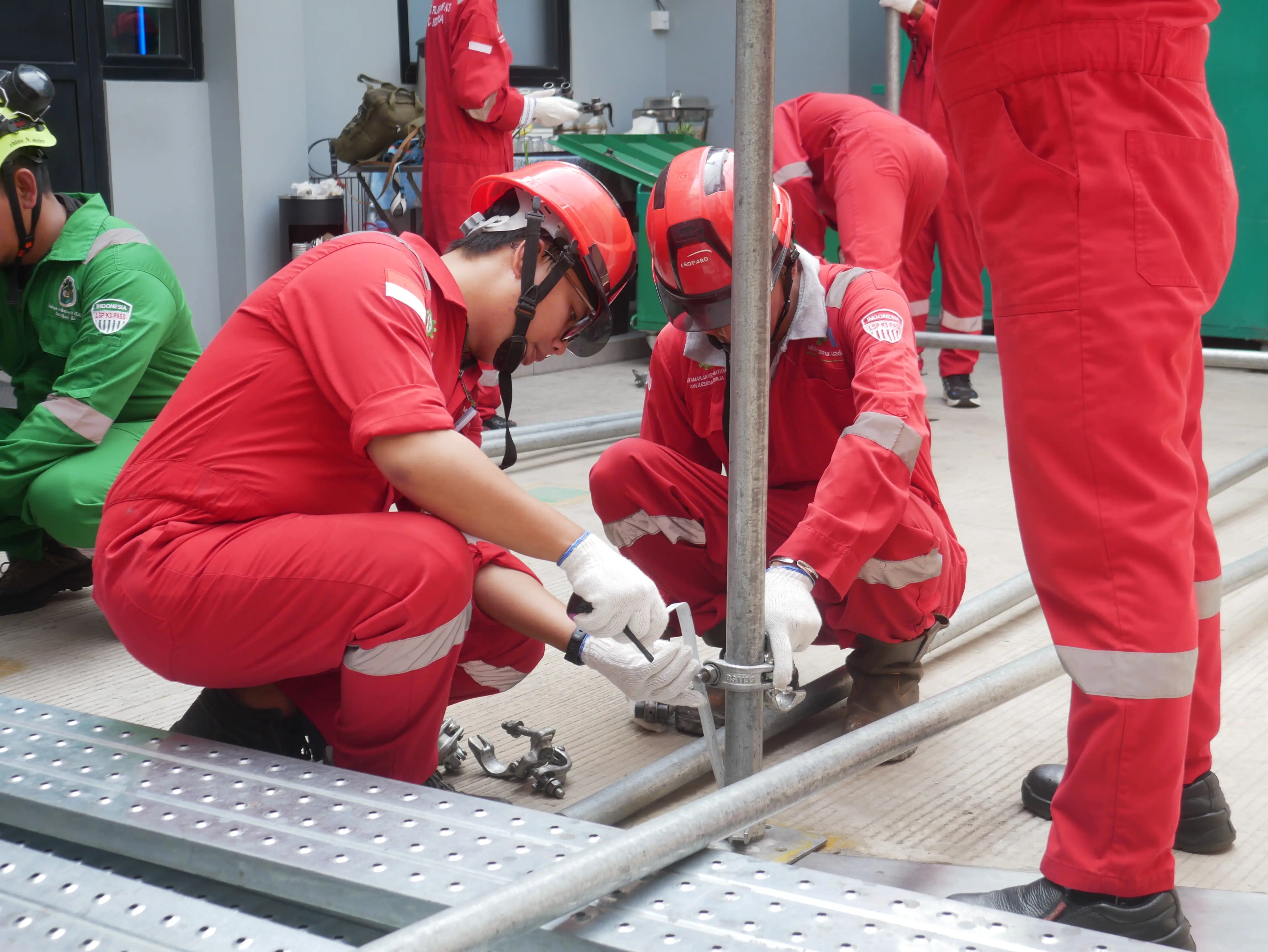
2 M.71IGN00.040.1 Melaksanakan Pengukuran Kerangka Dasar Horizontal dan VertikalConducting Horizontal and Vertical Control Surveys
3 M.71IGN00.044.3 Menentukan Posisi dengan Global Navigation Satellite System (GNSS) secara Realtime CorrectionPositioning with Real-Time Corrected GNSS
4 M.71IGN00.046.1 Melaksanakan Pengukuran Global Navigation Satellite System (GNSS) StatikConducting Static GNSS Surveys
5 M.71IGN00.123.1 Mengolah Data Pengukuran Sudut Horizontal, Vertikal, Jarak dan TinggiProcessing Horizontal/Vertical Angle, Distance and Height Data
6 M.71IGN00.126.1 Mengolah Data Pengukuran Beda Tinggi dan JarakProcessing Height Difference and Distance Data
7 M.71IGN00.134.2 Membuat Laporan Hasil PengukuranPreparing Survey Reports

Mengacu pada skema LSP berlisensi BNSP yang terdaftar di bnsp.go.id. Rincian unit bisa sedikit berbeda antar-LSP — tim kami memastikan skema yang sesuai sebelum Anda mendaftar.Based on BNSP-licensed LSP schemes listed at bnsp.go.id. Units may differ slightly between LSPs — our team confirms the right scheme before you register.

Operator, Analis, atau Juru Ukur?

Operator SIG untuk yang mendigitasi, mengedit, dan mentransformasi data; Analis SIG untuk yang merancang basis data spasial dan analisis; Juru Ukur & Teknisi Survei Terestris untuk yang mengukur di lapangan. Kirim uraian tugas tim Anda — kami petakan skema tiap orang.

Cara Kerjanya: 4 Langkah Sampai Sertifikat Terbit

  1. Kirim kebutuhan Anda — lewat WhatsApp atau formulir: skema/jenjang yang diminta (kalau sudah tahu), jumlah peserta, dan lokasi.
  2. Pemetaan skema & cek berkas, gratis — kami cocokkan pekerjaan nyata tiap peserta dengan skema dan unit kompetensinya, lalu kirim rincian jadwal + biaya.
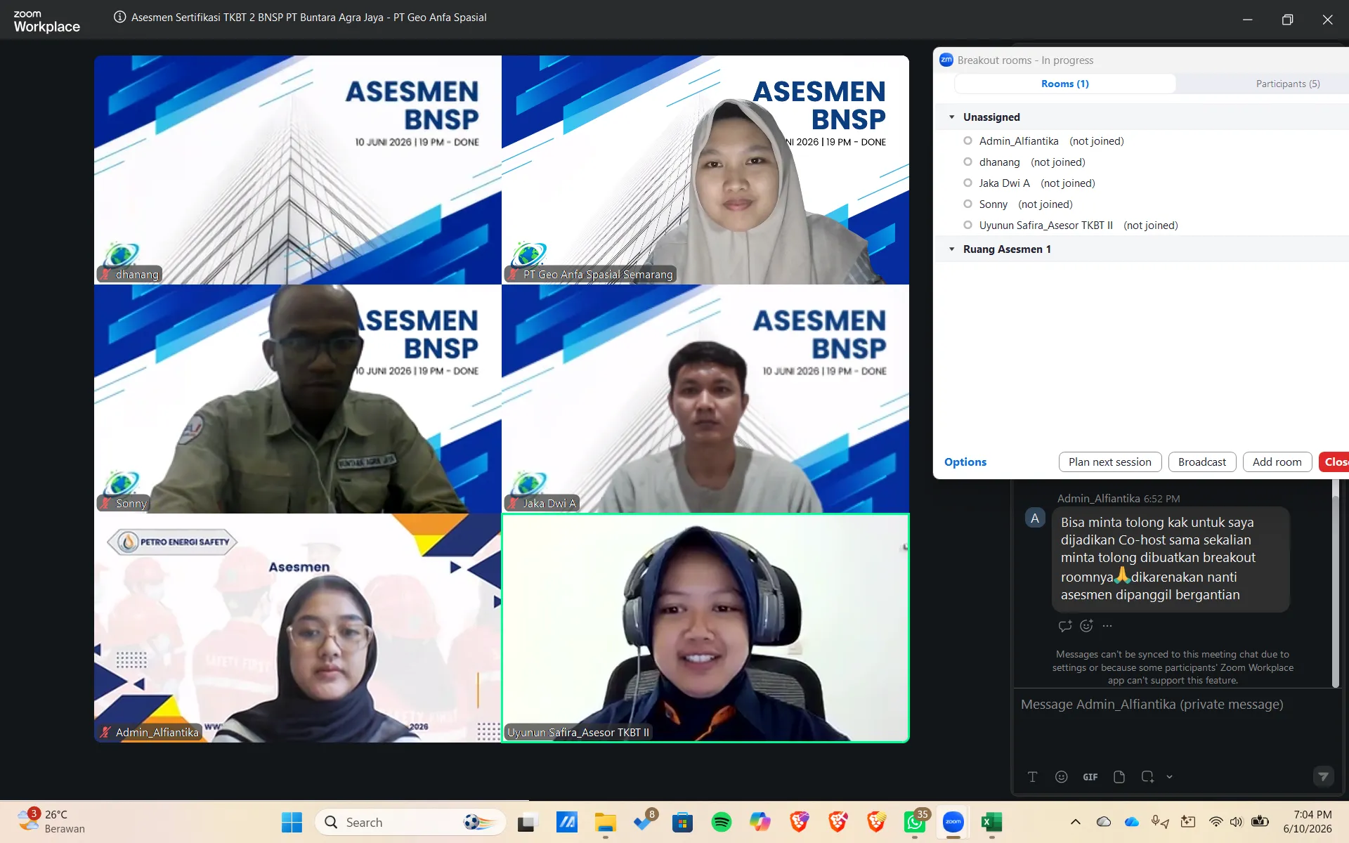
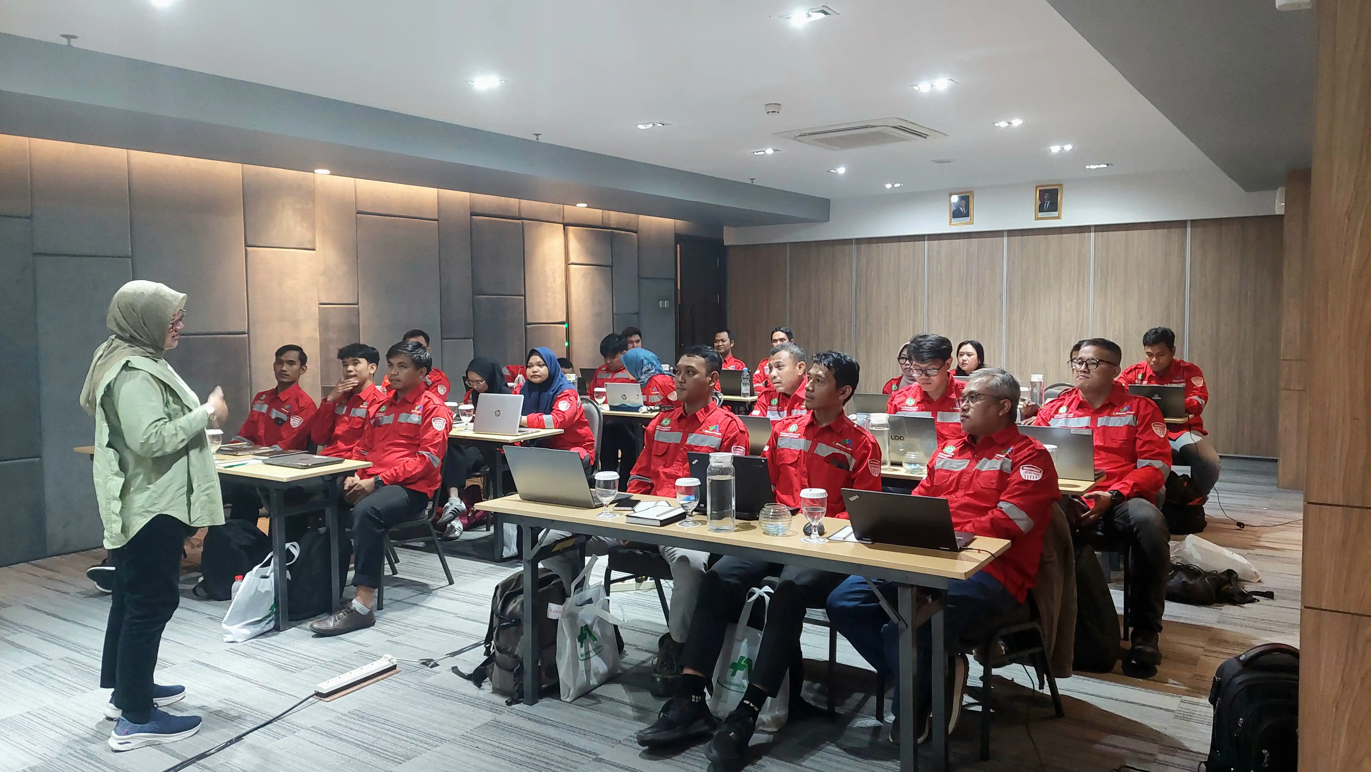
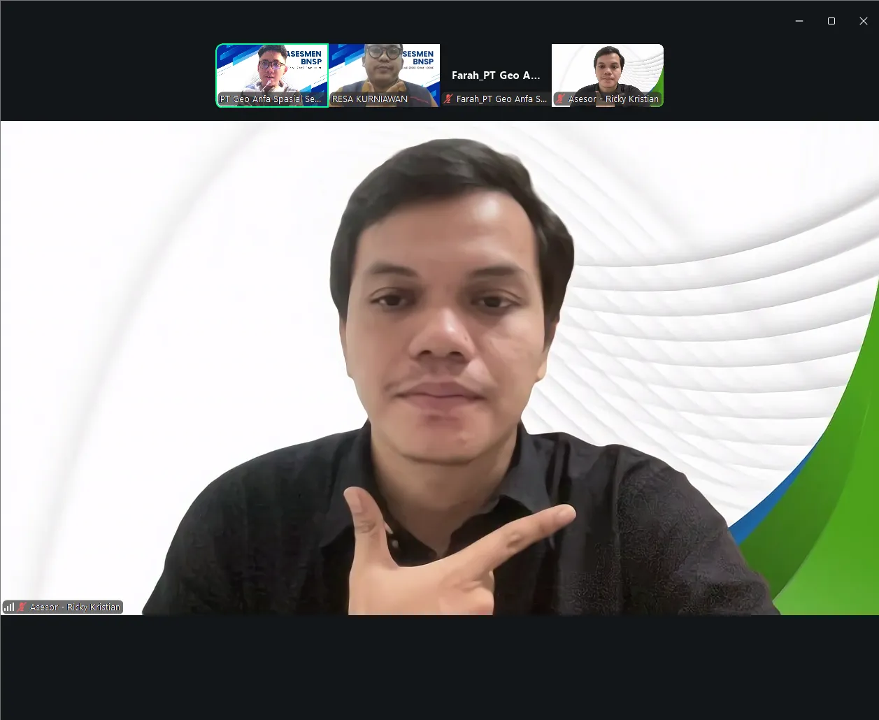
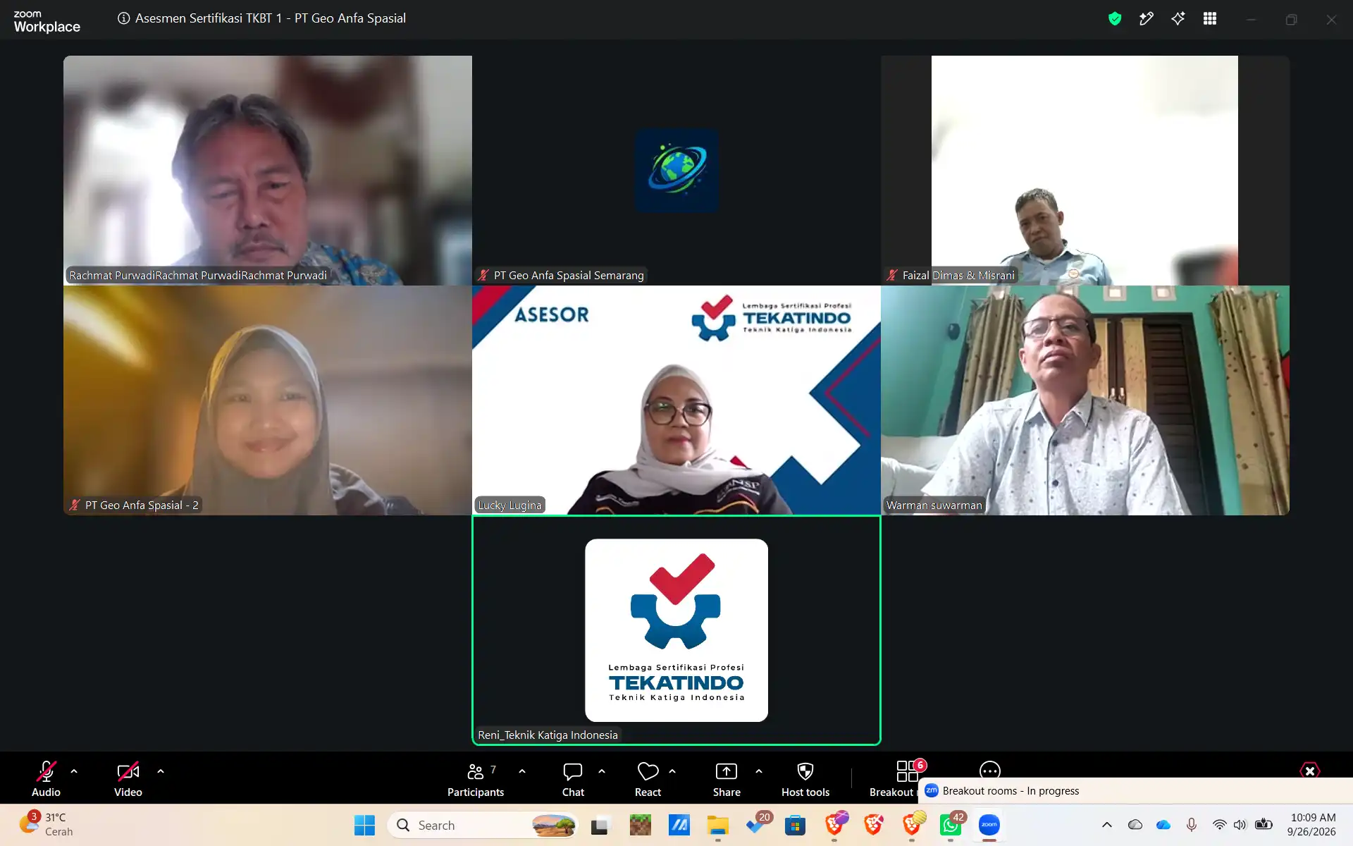
  3. Pelatihan & uji kompetensi — kelas online (1 hari pelatihan + 1 hari asesmen) sesuai jadwal batch terdekat, atau in-house di lokasi Anda untuk rombongan perusahaan. Portofolio disusun bersama sebelum berkas diajukan; asesmen oleh asesor LSP di TUK resmi terafiliasi LSP.
  4. Sertifikat terbit — kami dampingi sampai sertifikat BNSP diterbitkan LSP dan bisa dicek di bnsp.go.id.

Dari Perusahaan Geospasial, untuk Tenaga Geospasial

Geo Anfa Spasial mengerjakan pemetaan, analisis spasial, dan survei untuk klien setiap hari. Pelatihan kami memakai contoh kasus nyata — data koordinat yang salah sistem, peta analog yang harus didigitasi, GNSS yang perlu koreksi — bukan contoh buku.

Kenapa Lewat Kami

Kami adalah Tempat Uji Kompetensi (TUK) resmi terafiliasi LSP. Yang kami kerjakan bukan hanya menyelenggarakan asesmen, tetapi juga bagian yang biasanya paling membingungkan peserta:

  • Mencocokkan pekerjaan sehari-hari tiap peserta dengan skema dan jenjang yang tepat, supaya tidak diuji pada unit kompetensi yang salah.
  • Menyusun portofolio dan bukti kerja bersama Anda sebelum berkas diajukan.
  • Menyarankan pelatihan penyegaran hanya untuk unit yang jarang Anda kerjakan — bukan paket wajib.
  • Mendampingi sampai sertifikat diterbitkan LSP dan terdaftar.

Operator, Analyst, or Surveyor?

GIS Operator for people who digitise, edit, and transform data; GIS Analyst for those designing spatial databases and analyses; Surveyor & Terrestrial Survey Technician for field measurement. Send us your team's duties — we map each person's scheme.

How It Works: 4 Steps to Your Certificate

  1. Send your requirement — via WhatsApp or the form: the scheme/level you were asked for (if known), number of participants, and location.
  2. Free scheme mapping & document check — we match each participant's actual work with the right scheme and its competency units, then send the schedule and fees.
  3. Training & competency assessment — an online class (1 day of training + 1 day of assessment) on the next batch schedule, or in-house at your site for company groups. The portfolio is prepared together before submission; the assessment is run by an LSP assessor at an LSP-affiliated TUK.
  4. Certificate issued — we stay with you until the LSP issues the BNSP certificate, which can be verified at bnsp.go.id.

From a Geospatial Company, for Geospatial Staff

Geo Anfa Spasial delivers mapping, spatial analysis, and surveys for clients every day. Our training uses real cases — coordinates in the wrong system, analogue maps to digitise, GNSS needing correction — not textbook examples.

Why Go Through Us

We are an official Competency Test Site (TUK) affiliated with an LSP. We don't just host the assessment — we handle the parts that usually confuse participants:

  • Matching each person's daily work with the right scheme and level, so nobody is assessed against the wrong competency units.
  • Preparing the portfolio and work evidence together with you before submission.
  • Recommending refresher training only for units you rarely perform — never as a mandatory package.
  • Staying with you until the certificate is issued by the LSP and registered.
KLIEN KAMIOUR CLIENTS

Telah Dipercaya Oleh Perusahaan HebatTrusted By Great Companies

PT Acter Technology Indonesia
PT Buntara Agra Jaya
PT SNF Polymers Indonesia
PT Multi Kontrol Nusantara
PT Merpati Putih Jaya
PT Enviromate Technology International
PT Universal Luggage Indonesia
PT Prospero Realty
PT Cimanggis Cibitung Tollways
PT Aratech Smart Asima
PT Yamaha Motor Electronics Indonesia
PT. SUNSTAR ENGINEERING INDONESIA
PT Commonwealth stel Indonesia
PT Pan Grafik Indonesia
PT Ketapang Bangun Sarana
PT Garuda Systrain Interindo
Sintegra Academy
PT Bintang Inspeksi Indonesia
PT Orbit Terminal Merak
PT Spitze Sentosa Indonesia
PT Duraquipt Cemerlang
PT Pembangunan Sarana Perkasa
PT Jaya SIndo Perkasa
PT Ferbeck International
PT Max Potensia Indonesia
PT Fajar Trijayanti Jaya

Pertanyaan yang Sering DitanyakanFrequently Asked Questions

Kelas online: 1 hari pelatihan + 1 hari asesmen. Biaya tergantung skema, jumlah peserta, dan pilihan online atau in-house — kirim kebutuhannya via WA atau formulir di bawah, kami balas rincian biaya dan jadwal batch terdekat. Online class: 1 day of training + 1 day of assessment. Fees depend on the scheme, number of participants, and online or in-house format — send your requirement via WhatsApp or the form below and we reply with fees and the nearest batch.

Daftar lengkap dengan kodenya ada di tabel "Unit Kompetensi" halaman ini (Operator SIG 9 unit, Analis SIG 10 unit, Juru Ukur 7 unit, Teknisi Terestris 7 unit), mengacu pada skema LSP berlisensi BNSP di bnsp.go.id. Materi pelatihan kami mengikuti unit tersebut. The full list with codes is in the "Competency Units" table on this page (GIS Operator 9 units, GIS Analyst 10 units, Surveyor 7 units, Terrestrial Technician 7 units), based on BNSP-licensed LSP schemes at bnsp.go.id. Our training follows those units.

Scan KTP, ijazah terakhir, pas foto 3x4 latar merah, surat keterangan bekerja, CV, dan portofolio bukti kerja sesuai skema. Pendidikan & pengalaman minimal mengikuti skema LSP; berkas yang tidak asli tidak kami proses. Kirim dulu yang ada — kami bantu petakan kekurangannya. Scanned ID card, latest diploma, 3x4 photo on red, employment letter, CV, and a portfolio of work evidence for the scheme. Minimum education and experience follow the LSP scheme; documents that are not genuine are not processed. Send what you have — we help close the gaps.

Bisa keduanya. Kelas berlangsung online sehingga bisa diikuti dari kota mana pun; untuk rombongan perusahaan kami bisa in-house ke lokasi Anda se-Indonesia. Sebutkan kota + jumlah peserta di WA. Both. Classes run online so participants can join from any city; for company groups we can run it in-house at your site anywhere in Indonesia. Tell us the city and number of participants on WhatsApp.
Sertifikat kompetensi BNSP diterbitkan LSP berlisensi dan data pemegangnya dapat dicek di bnsp.go.id. Masa berlaku mengikuti ketentuan LSP penerbit. BNSP competency certificates are issued by a licensed LSP and holders can be verified at bnsp.go.id. Validity follows the issuing LSP's rules.

MULAI SEKARANGGET STARTED NOW

Siap Raih Sertifikasi BNSP atau Kemnaker Anda?Ready to Get Your BNSP or Kemnaker Certification?

Konsultasikan kebutuhan Anda sekarang — gratis, tanpa komitmen. Tim kami siap membantu Anda menentukan skema sertifikasi yang tepat.Consult your needs now — free, no commitment. Our team is ready to help you identify the right certification scheme.

Mulai via WhatsAppStart via WhatsApp (+62 857-9657-7160)

Informasi KontakContact Information

KONSULTASI GRATISFREE CONSULTATION

Ceritakan Kebutuhan Pelatihan AndaTell Us About Your Training Needs

Isi formulir di bawah — tim kami membantu memilih jalur dan skema sertifikasi BNSP/Kemnaker yang tepat, lalu menghubungi Anda dalam satu hari kerja — dibalas 1 hari kerja. Mau lebih cepat? Langsung WA di nomor di atas (<10 menit jam 07.00–21.00).
Fill in the form below — our team will help you choose the right BNSP/Kemnaker certification path and contact you within one business day.

Mendaftar sebagaiRegistering as
EN ID